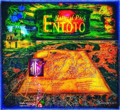
Mapping References
Mapping References
Aerial photographs handed out from the Ethiopian Mapping Agency from the following dates:
1984-01-25 Addis Ababa S14.15- 0290 - 0923
S14.16-0230 - 0236
S14.17-0267 - 0273
S14.18-0281 - 0287
1984-12-07 Sululta SO2 050 - 059
1985-01-09 Sululta R15 090 - 093
Map of ADDIS ABABA NW, produced at Ethiopian Mapping Agency, 1982.Series: ETH 4, Sheet: 0938-D3, Edition 2.Scale 1: 50 000
Map of ADDIS ABABA NE, produced at Ethiopian Mapping Agency, 1982.Series: ETH 4, Sheet: 0938-D4, Edition 2.Scale 1: 50 000
In our synthesis, we have concentrated on finding the place for each activity in the Park, where it is possible to let the surrounding nature dominate over the activity. In the establishment phase, many priorities have to be made due to a lack of funding.
When establishing an activity, it is critical to measure the correct size against other activities, even those planned to come in a later phase. Also, it is in line with the total concept of the Entoto Natural Park to profile the activities from the very beginning.
Every activity should be of high quality. For example, creating a wedding park does not mean that it should be in the style of other wedding parks in Addis Ababa.
A bird eye's perspective of the park (Annex 1) illustrates our suggestions for the location of the activities, that were agreed upon at the Park Committee meetings. The spatial distribution is a result of the analysis of criteria for location and from the synthesis.
Description of Main Attraction Points
Data on the existing attraction points, which we had asked about, were collected by Napoleon Tsegaye in October 1994, who kindly did an interview in Amharic with his grandfather, Ato Gebre Kidane Wibishet, native to the area.
Geographical Situation
Addis Ababa is situated 9° north of the equator, in central Ethiopia. The park area, on the mountain of Entoto, extends from the northern edge of the city, at an altitude of 2 600m and further north over the mountain crest at almost 3 100 m. From several spots, there is splendid outlook over the sprawling city and the five high solitary mountains, in the southwest to the southeast (Menagesha, Wachecha, Furi Zukuala and Yerer).Facing north from the top ridge, one looks out over vast plains, towards Sululta and some bare mountains. The mountain ridge on which the Park is located constitutes a big water divider. The northern slope drains into the Blue Nile, and the precipitation from the southern slope will end up in the Awash river.
This has the curious result that two raindrops falling at the same time just a few centimetres apart, will have quite different destinies: one will after a long journey reach the Mediterranean Sea, whereas the other will pass through the city of Addis Ababa, eventually evaporating in the Danakil Desert, as the Awash River never reaches the sea (Håkan Blanck and Pia Englund, Entoto Natural Park 1995).


Comments
Post a Comment