Posts

Entoto Natural Park

Image
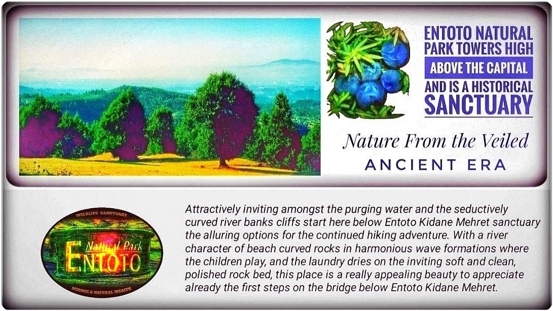
The Hidden Treasure at the Mountain's Shoulder This place is the work area of many endeavours; Entoto's High Plateau, where it appears among adorable Juniper hills and dreamlike meadows. Ultimately, this landscape of forgotten dreams reveals its southern border in Bees' Cliff's abyss (14). Here, a beautiful path (42) to Entoto Natural Park (Nursery) 34 becomes visible, where extensive work has been undertaken in nature restoration over many years. Geographical Situation Addis Ababa is situated 9° north of the equator in central Ethiopia. There is a splendid outlook over the sprawling city and the five high solitary mountains from several spots, with a propagating view from the southwest to the southeast (Menagesha, Wachecha, Furi Zukuala and Yerer). On the mountain massif of Entoto, the Park area extends from the northern edge of the city at an altitude of 2,600 m and further north over the mountain crest above 3,000 m. Entoto's High Plateau w...

Direction Map to the Alluring Past

Image
Direction Map to the Alluring Past T he C elestial D reams' F orgotten L andscape Bees' Cliff 14 requires Caution in the Canyon but assists with the wide map loop surrounding the gentle and fascinating tributary 36 to the Canyon and 41-42. Activities and Recreation The Path to the Gorgeous River-Dell The hidden path between the Sanctuary and the gorge runs attractively behind Entoto Kidane Mehret  (32)  in a concealed curve below its wall and passes through a small part of the village before the path   (5)  opens along a deep ravine and finishes with a downhill towards a traditional bridge. This bridge , which crosses the sculptural gorge within the valley [ A ], serves as the cosy picnic source  (19)  and also marks the natural starting point for more dramatic hikes towards the high plateau, accessible via  the first passing point (37) or (19). Entoto Kidane Mehret's Valley [A]   Shops for Picnics and Adventures The most necessary parts of ...